PROJECT PLANNING
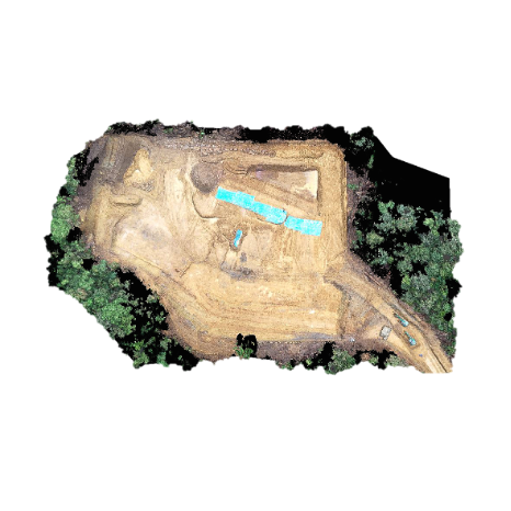
Using the Drone Mapping for surveying, mapping, volumes for earthworks, it can be useful for the number of flight paths, number of photos, and the overlap between the images.
PROJECT CONTROLLING
The Drone Mapping data to Support actual project controlling report such as, volumes for earthworks, Civil Works, Piping and Mechanical works. it can be useful for the project management checking
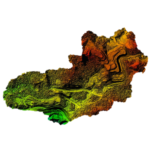
POINT CLOUD CLASSIFICATION
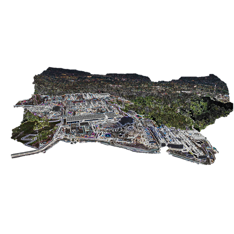
With point cloud classification, a terrain can be classified with the point cloud data. All the features of a terrain can be classified from the solid earth. With contour generation, elevation of a terrain is better understandable. A terrain is represented with contour lines of equal elevated places.
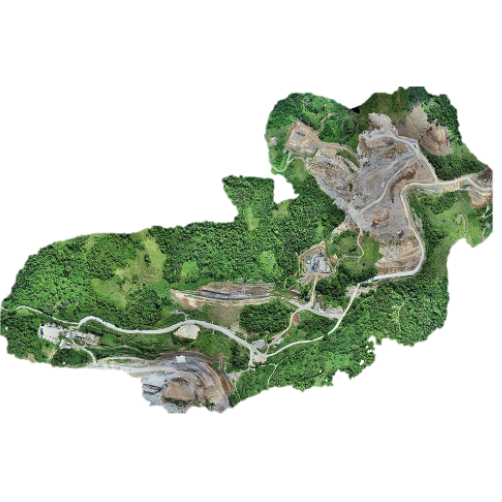
3D MODELLING
In 3D modelling, a structure is made with x, y, and z coordinates to give a depth to the image. It enables visualization of object or terrain by manipulating edges, vertices, and polygons in a simulated 3D space.